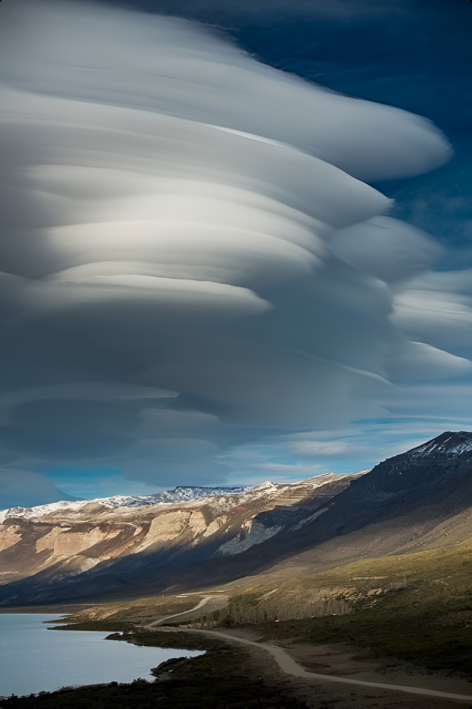
Cayutue Lagoon friendly Horse ride
details:

Starts and ends at:
9 am from Puerto Varas. 130 hours drive from Pto Varas. ow

Location:
Cayutue
DURATION:
1 Day
Hours Walk:
3 hours
Difficulty level:
Low-Medium
Terrain:
Gravel muddy sections along forest trail shade and open ground with shared trails for horses and people.
Equipment to bring:
Bottle of water. Warm clothes according to weather and time of the year. Comfortable and not too tight pants adequate for horse riding. Trekking shoes rain jacket solar cream sunglasses hat small bag for personal items.
Safety:
Emergency equipment and first aid kit.
Included:
Local English professional guide knowledgeable in native flora and fauna. Waterproof poncho in case of rain.Lunch Grilled meat sandwich snacks. Horses for different riders ability.
Not included:
Medical insurance and tips.
Trip Overview

Morning drive from Puerto Varas towards Ralún area very close to Cochamó. We will join a gravel road accessing the Vicente Perez Rosales National Park. Here the horses and the baqueano will be waiting readily.After a briefing we will saddle up and begin the ride for 1.15 hours along a the trail which will be ascending gradually entering the template forest. Surrounded by a volcanic field which occupies a low-lying area between the southern end of Ensenada Cayutué, the southern extension of Lake Todos los Santos, and the northern end of the Estuario Reloncaví, where the Río Petrohué, which drains lake Todos los Santos, reaches the sea.
La Viguería and Volcán Cayutué are the principal cones. Formation of La Viguería cone and associated lava flows temporarily dammed the Río Petrohué about 3000 years ago, forming an ephemeral lake that was filled with deposits from Calbuco and Osorno volcanoes.Pyroclastic cones and lava flows of Volcán Cayutué filled the Ensenada de Cayutué depression, separating Lake Todos los Santos from Ralún Bay. Amazing geology and nothing to fear. At least for the last 3 centuries.... Reaching the laguna we can dismount, relax, while the guide and baqueano will be preparing a simple but delicious lunch on the grill. The return is the same way back.
Reviews

What our customers say about
their experience traveling with us


